
EXISTING PLATFORM
See. Compare. Manage.
- Detailed drone maps and flight comparisons
- Mapped issues, measurements and annotations
- GreenGuard scheduling and coverage
 Talk about your course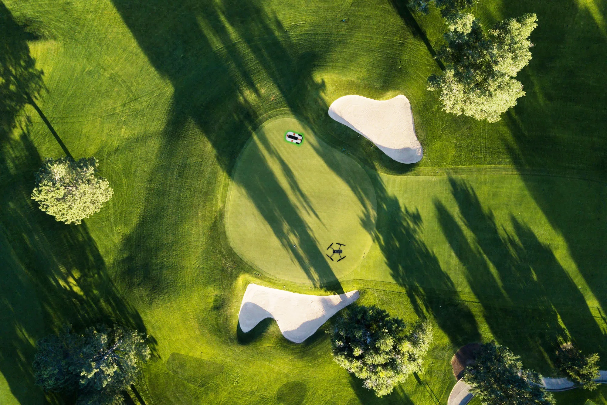
INTRODUCING THE NEXT CHAPTER OF TURFBASE GOLF
See what changed. Understand what deserves attention.
Decide your next move—with the whole picture.
Built on a legacy.
Focused on your course.
Satellite monitoring follows broad changes across the course—on every usable clear pass.
SATELLITE MONITORING · COMING SOONA map shows you where.
A connected course helps you understand why.
 TurfBase Golf / Site Explorer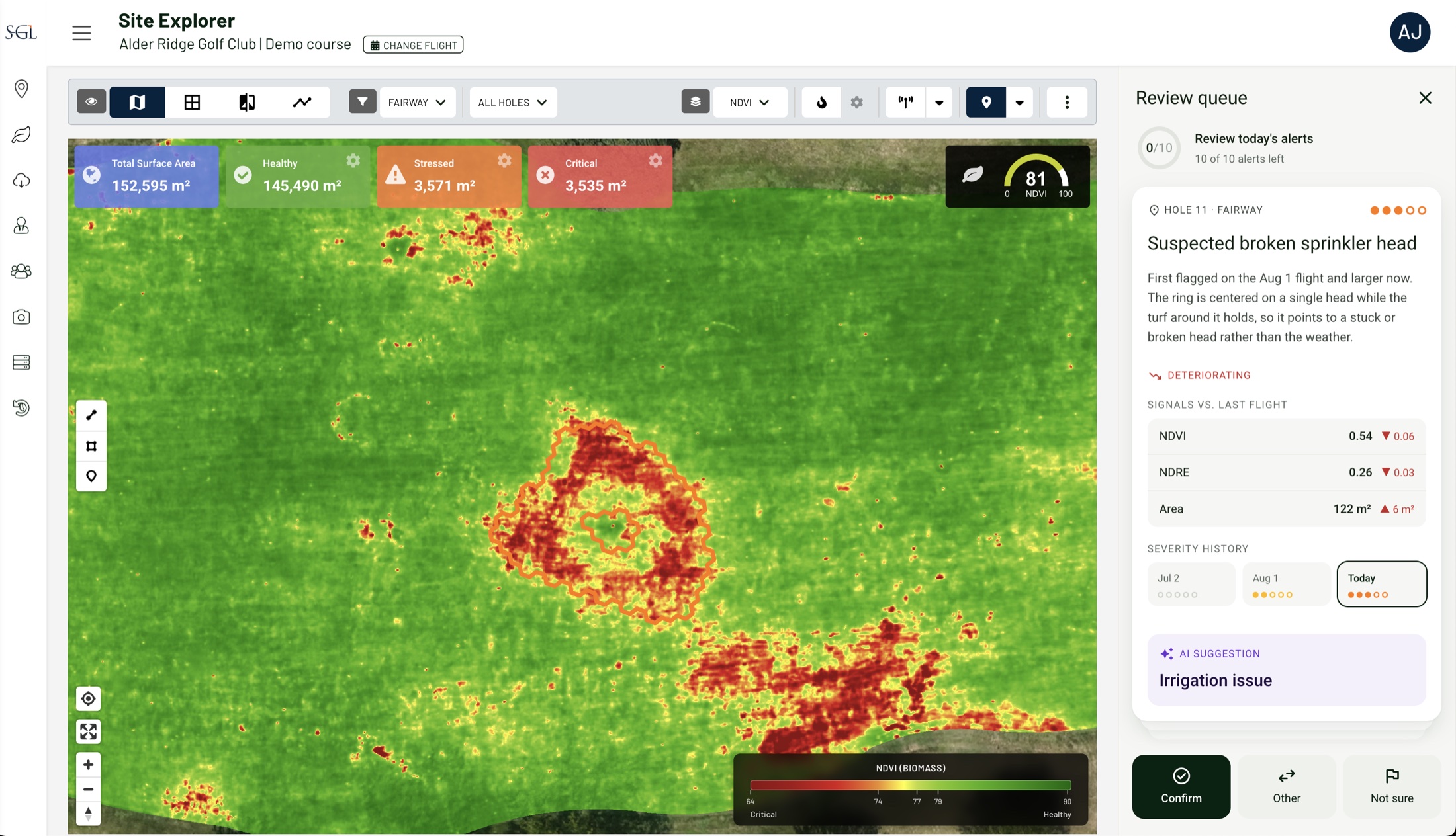
A CHANGING PATTERN
See the area on the map, what has changed and how it compares with earlier imagery. Spend less time finding the question.
Bring the next inspection into focus.
Evidence you can interrogate, not a black box.
Give the next decision more course context.
03 / BUILT AROUND YOUR KNOWLEDGE
The dry corner. The repaired head. The patch that returns every summer. Connect what the imagery shows with what your team knows.
Our direction is a living course record: observations and context that help make the next explanation more relevant. Not another conversation that starts from zero.
Your course.One connected picture.CONNECTED-COURSE VISION · CAPABILITIES VARY BY RELEASE
Start with what your course needs.
Build the picture from there.
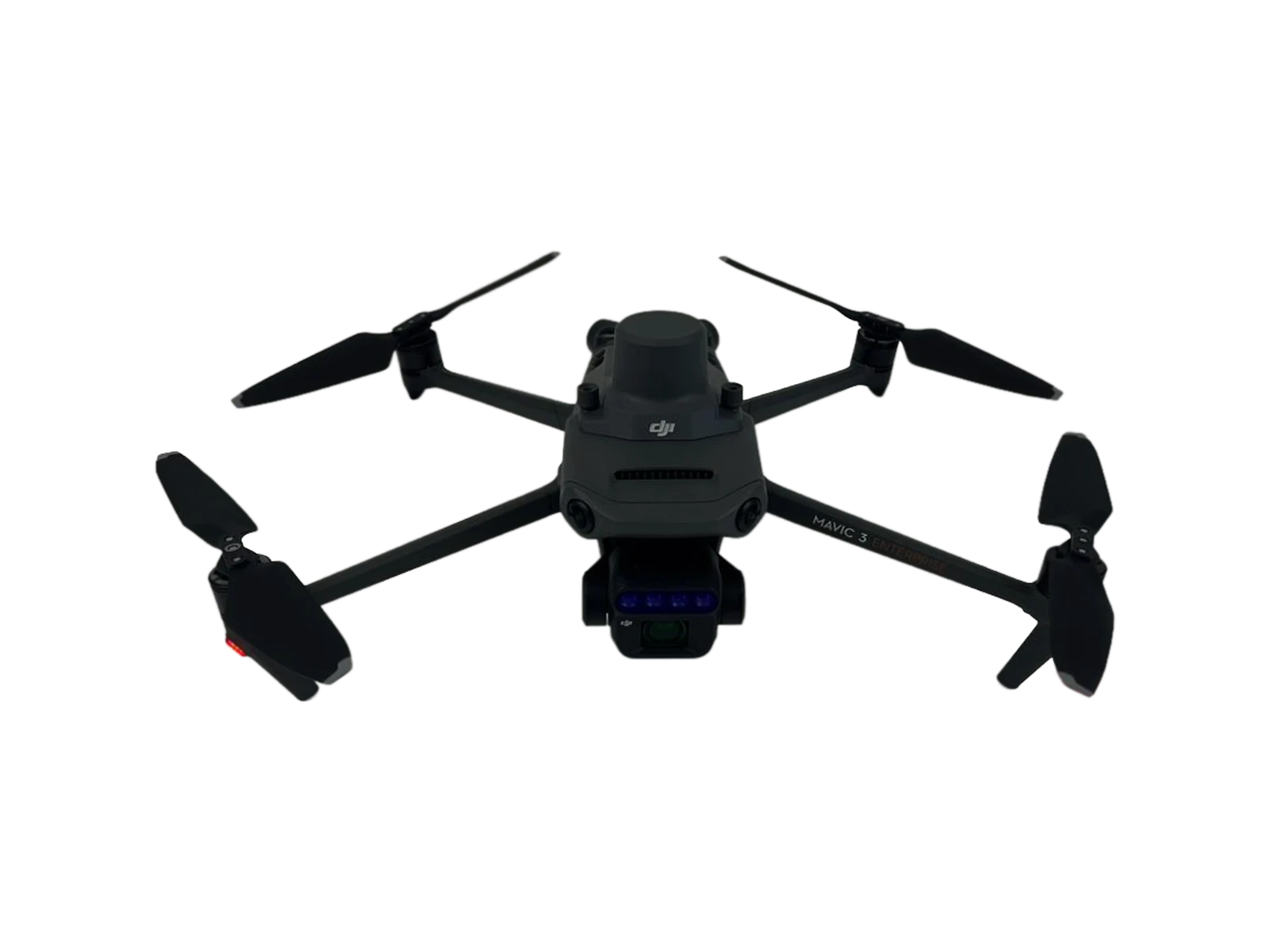 ENGINEERED FOR THE CONDITIONS THAT MATTER.
Go from a course-wide question to a close look at a green. High-resolution aerial imagery helps locate turf stress, compare flights and investigate the places that deserve attention.
05 / A CLEAR PATH FORWARD
Real capabilities. A deliberate roadmap.
A clear distinction between the two.
EXISTING PLATFORM
THE NEXT RELEASE
THE CONNECTED-COURSE VISION
Availability depends on release, configuration and location. SGL will confirm the scope and onboarding timing for your course.
06 / REAL TURF. REAL PEOPLE.
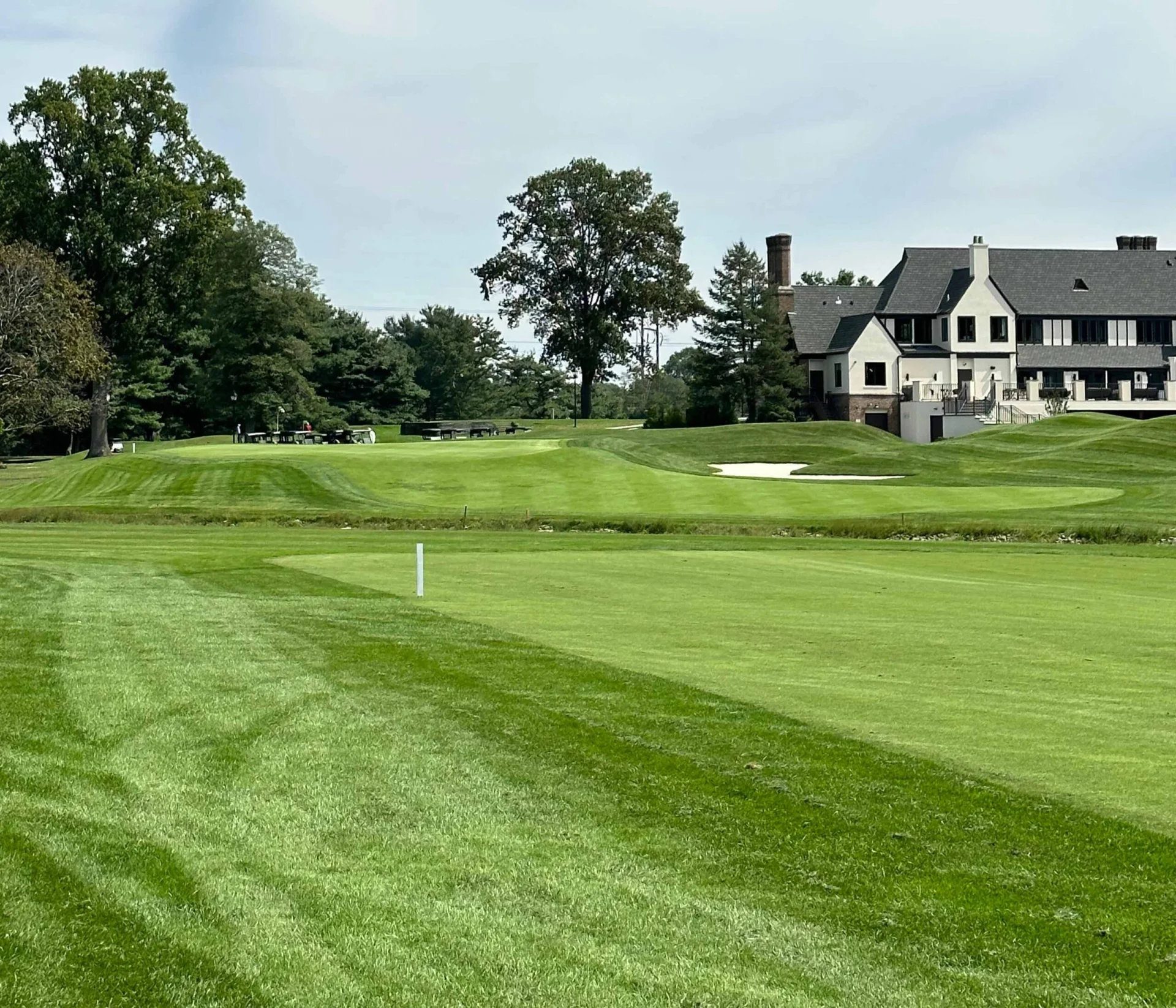 SUNEAGLES GOLF CLUB / NEW JERSEY
“Implementing SGL’s system gives us a clearer understanding of what is happening across the course at all times.”
Ryan O’Connor Superintendent · Suneagles Golf Club
A real-world testing and demonstration site for SGL Golf’s connected ecosystem—bringing robotics, aerial monitoring and agronomic insight into the course environment.
Read the partnership storyTHE SGL FOUNDATION
More than 25 years supporting elite sports turf. That experience informs our work in golf.
BEFORE YOUR FIRST CONVERSATION
No. Existing drone workflows can use a supported drone or a service provider. The upcoming satellite option is designed to let you start monitoring without installing hardware. Your SGL contact can explain the right starting point and what is included.
Satellite imagery helps follow broad changes over the course when usable, cloud-free images are available. Drone imagery adds finer detail; sensors measure conditions at their installation point. Satellite imagery does not guarantee a fresh view every day or the detail needed to diagnose an individual patch on a green.
No. The upcoming alert experience offers a possible explanation, supporting evidence and a suggested next step. You can confirm, correct or say you are not sure. Your judgment remains central; an alert is not a definitive disease diagnosis.
Drone analysis, mapped annotations, flight comparisons and GreenGuard workflows form the existing platform. Satellite monitoring, TurfPod map integration and the next-generation alert experience are being prepared for the next release. Shade analysis, cup sensors and other roadmap capabilities are separate. Discuss current availability with SGL before choosing a package.
We start with your course, priorities and existing equipment. Setup may include course boundaries, grass types, supported drone imagery and digital irrigation plans where available. The team will confirm the onboarding steps, timing, subscription and any hardware or service requirements.
Yes—discuss the appropriate configuration with SGL. Monitoring, aerial detail, sensors, lighting and robotic treatment address different needs. The connected-course vision does not mean every course needs every piece of hardware.
YOUR COURSE IS THE NEXT CONVERSATION.
Tell us what you’re working towards.
We’ll help you find the right place to start.